Part 3 – Data Export
Chapter 3.4 – Export Othomosaic
Overview
This chapter describes the steps to export the Orthomosaic into a variety of external data formats.
Export Orthomosaic
One of the main applications for orthomosaics is to serve as a spatially accurate underlay in a mult-layer geographic information system (GIS). Photoscan allows export in the following data formats;
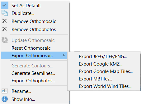
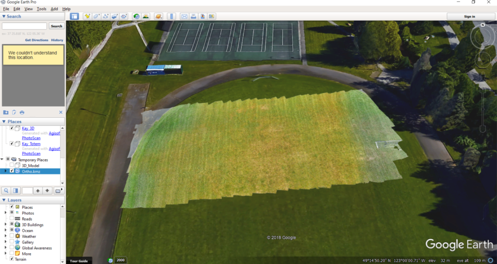
Exporting an orthomosaic to Google Earth KMZ format allows for a quick assessment of its general positional accuracy. To export the Orthomosaic, right-click on it in the Workspace, select Export Orthomosaic… and choose the export file format (e.g. Google KMZ).
The suggested output parameters are shown in the screenshot below, but they may vary depending on the specific software and user requirements. Note that the pixel size in meters is set to 0.01 which results in the angular X and Y values below.
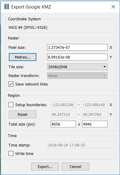
Click Export, navigate to where you want to save the orthomosaic, enter a name and click Save.
Once the orthomosaic is exported, double-clicking on it should launch Google Earth and the software will automatically navigate to the correct geographical location.