Part 3 – Data Export
Chapter 3.3 – Export DEM
Overview
This chapter describes the steps to export the DEM into a variety of external data formats.
Export DEM
Digital elevation, surface and terrain models are often the foundation for many architectural and geographic projects including construction, environmental modeling and site design. It is advantageous to be able to export the elevation data in a wide range of formats (listed below) in order to facilitate more advanced spatial analysis. Export data formats include;
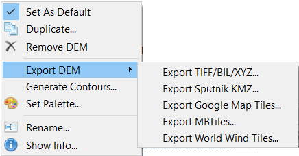
ESRI ArcMap or QGIS are very popular GIS software packages which allow for multi-criteria analysis of overlapping data sets and DEM’s are one of the key layers in geospatial analysis. To export the DEM, right-click on it in the Workspace, select Export DEM… and select the desired format (e.g. TIFF/BIL/XYZ).
The suggested output parameters are shown in the screenshot below, but they may vary depending on the specific software and user requirements.
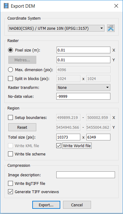
Once exported, the DEM can be added as a layer in the GIS software package.
